

Shawn Hinchey
Broker, Hinchey Homes Real Estate Team
RECO registered, TRESA compliant, serving Durham Region since 2013
Published: April 13, 2026
Listings with aerial drone photography sell faster and for more money. Here is why we use drone shots on every listing and what buyers actually notice from above.
Why Aerial Photos Matter in Real Estate
Most buyers start their home search online, scrolling through listing photos on their phone. In that context, drone photography is not a luxury. It is one of the most effective tools for stopping the scroll and getting a buyer to click into your listing. Studies from the Multiple Listing Service consistently show that listings with aerial photography receive significantly more online views than those without.
Drone shots do something that ground-level photography cannot: they show the full property in context. Lot size, proximity to parks or ravines, the condition of the roof, the size of the backyard relative to neighbours, and the overall neighbourhood layout all become visible from above. For buyers evaluating multiple homes online, that context is a real differentiator.
What Drone Photos Reveal About a Property
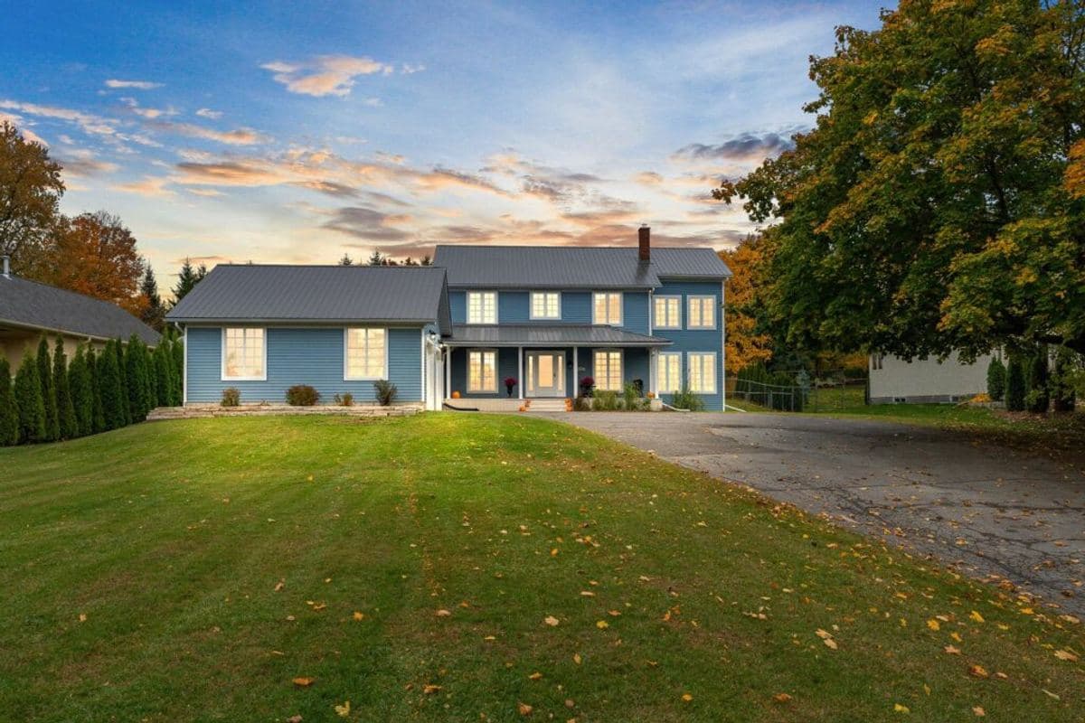
The most obvious benefit is showing lot size and shape. In Durham Region, where lot sizes vary dramatically from neighbourhood to neighbourhood, an aerial shot instantly communicates whether a home sits on a 40-foot lot or a 70-foot lot. That distinction is hard to convey in ground-level photos but obvious from above.
Drone photography also highlights proximity to amenities. A home that backs onto a conservation area, sits next to a park, or has water views benefits enormously from an aerial perspective. These are selling features that ground-level photos simply cannot capture with the same impact.
Roof condition is another factor. Buyers and their inspectors will look at the roof eventually. A drone photo that shows a clean, well-maintained roof builds confidence early in the process. If the roof needs work, we address that in the listing strategy before photos are taken.
The Data Behind Drone Photography and Sale Price
MLS research and multiple industry reports have found that listings with professional aerial photography sell up to 68% faster than those without. While sale price impact varies by market and property type, the logic is straightforward: more views lead to more showings, more showings lead to more offers, and more offers lead to higher prices.
For properties on larger lots, waterfront homes, or homes with notable outdoor features, the impact is even more pronounced. We have seen drone photography turn a feature that buyers would not have noticed in standard photos into the primary reason they book a showing.
How We Use Drones at Hinchey Homes
We include professional drone photography on every listing, regardless of price point. Our licensed drone operators capture both still images and cinematic video that we use across MLS, social media, and targeted digital advertising.
A typical drone shoot includes 8 to 12 aerial stills and a 30- to 60-second cinematic flyover video. The stills go into the MLS listing. The video goes into social media campaigns and is often the first piece of content a potential buyer encounters about the property.
We also use drone footage in neighbourhood highlight reels, showing buyers not just the home but the surrounding area, schools, parks, shopping, and transit access. This is especially valuable for buyers relocating to Durham Region from Toronto who may not know the local neighbourhoods.
Regulations and What Sellers Should Know
Drone operation in Canada is regulated by Transport Canada under the Canadian Aviation Regulations. Our operators hold the required pilot certificates and carry liability insurance. Flights are conducted in compliance with altitude restrictions, no-fly zones, and privacy guidelines.
As a seller, you do not need to worry about any of this. We handle the scheduling, permitting (if required near airports or restricted areas), and post-production. All you need to do is make sure the yard is tidy on photo day.
Is Drone Photography Worth It for Every Home?
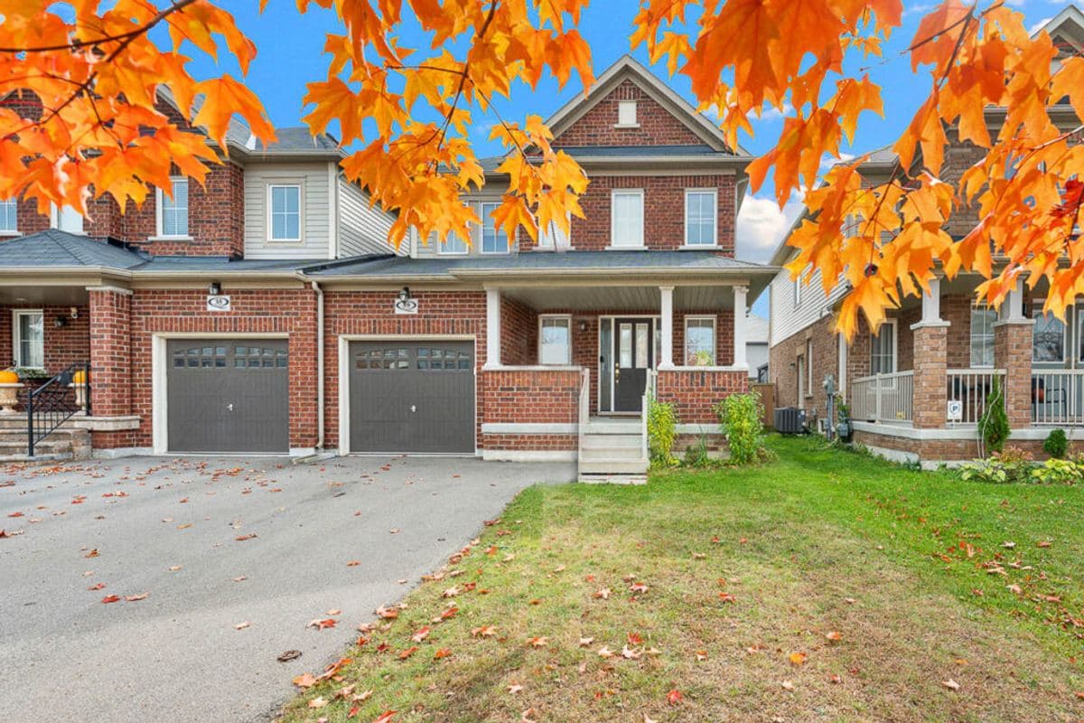
Yes, but the degree of impact varies. Homes on large lots, corner lots, or lots with notable features (pools, landscaping, ravine backing) benefit the most. Townhouses and condos benefit less from overhead shots but still benefit from elevated angles that show the complex layout and parking.
The cost of professional drone photography has dropped significantly in recent years. At Hinchey Homes, it is included in our standard marketing package at no additional cost to sellers. There is no reason not to use it, and every reason to make your listing stand out in a crowded market.
“Drone photography shows the full property in context: lot size, proximity to parks, roof condition, and neighbourhood layout. These are things ground-level photos simply cannot capture.”
Shawn Hinchey
Broker, Hinchey Homes Real Estate Team
RECO registered, TRESA compliant, serving Durham Region since 2013
Published: April 13, 2026